


About this collection
The Richmond Comprehensive Planning Slide Collection contains over 8,000 photographs primarily depicting the city of Richmond, Virginia. The collection of 35mm slides was compiled by the staff of the Planning and Preservation Division of the City of Richmond's Department of Planning and Development Review. It functioned as an archive of planning imagery used for presentations to the public, to community groups, and to the Planning Commission and City Council for the adoption of plans.
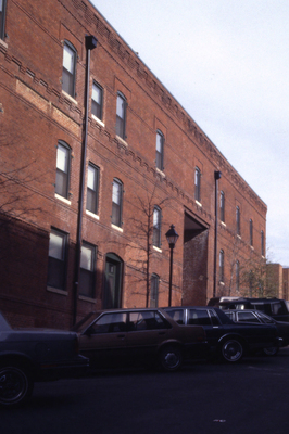
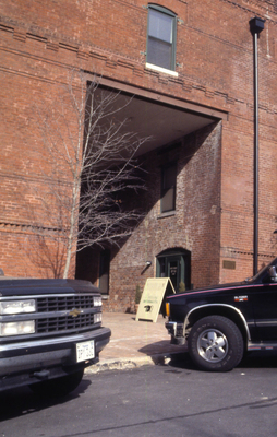
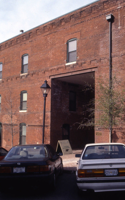
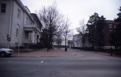
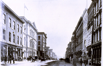
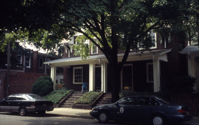
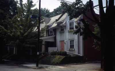
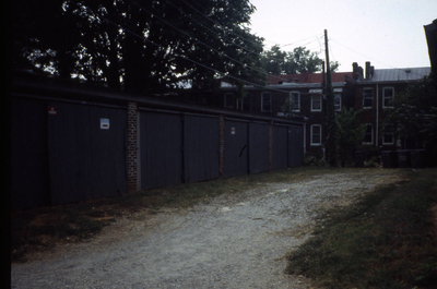
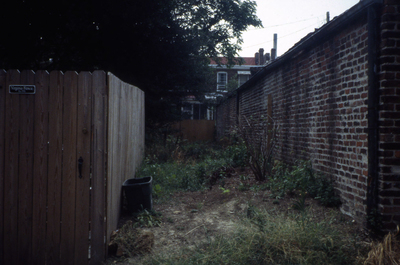
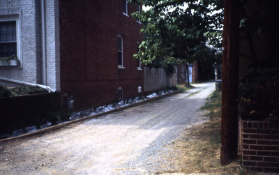
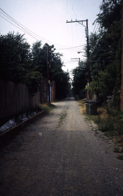
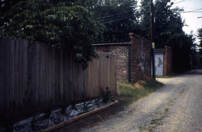
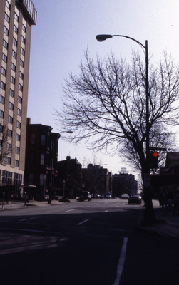
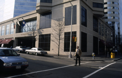
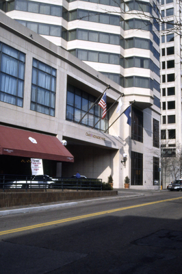
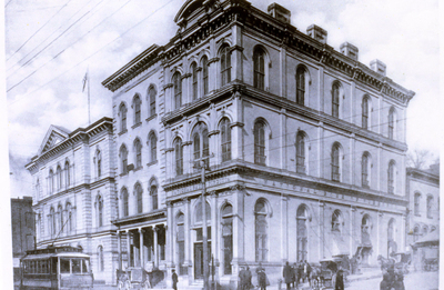
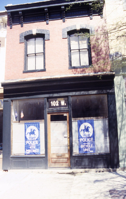
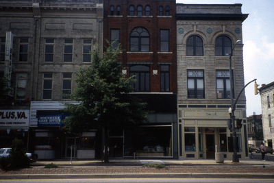
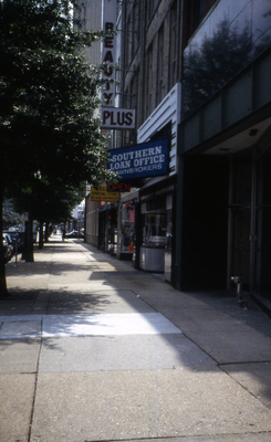
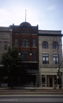
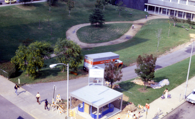
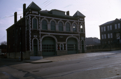
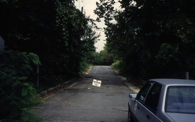
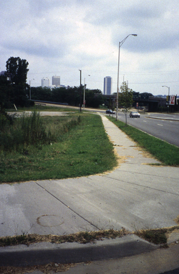
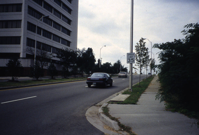
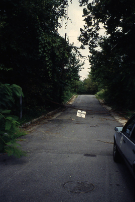
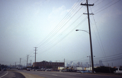
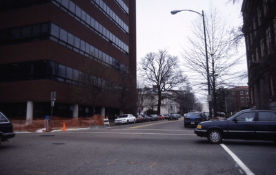
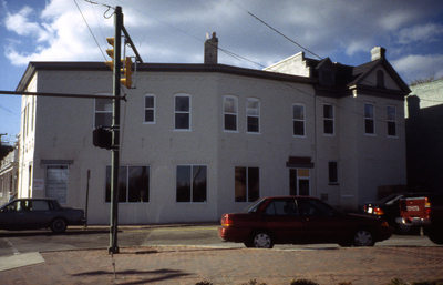
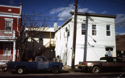
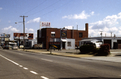
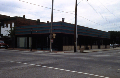
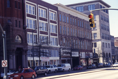
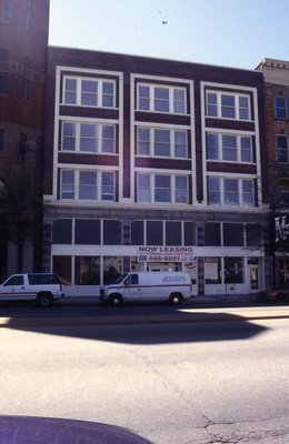
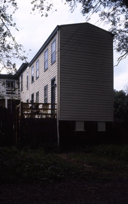
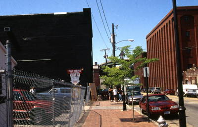
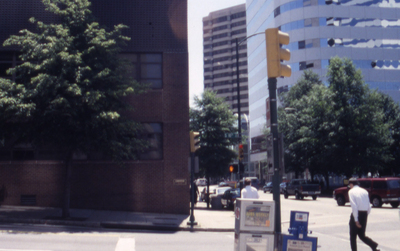
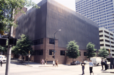
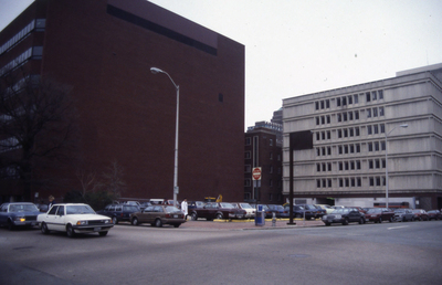
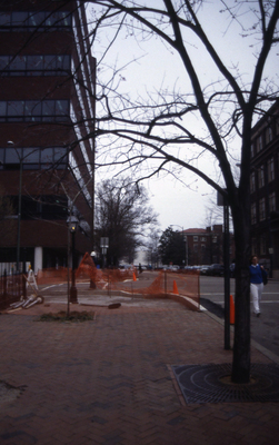
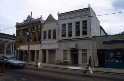
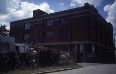
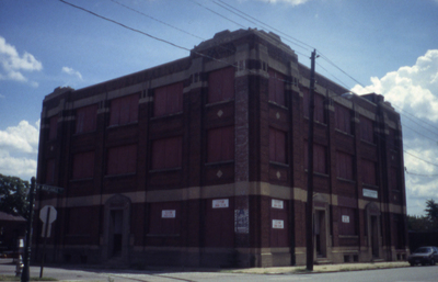
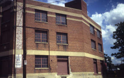
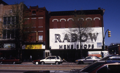
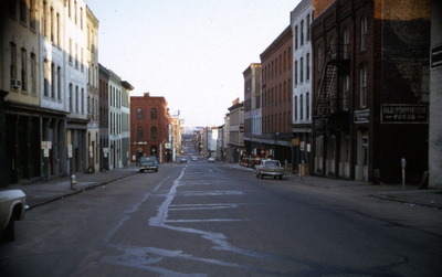
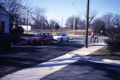
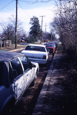
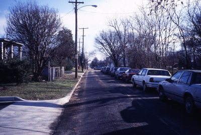
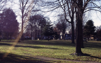
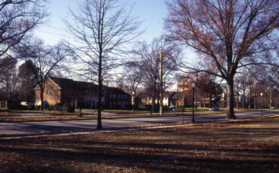
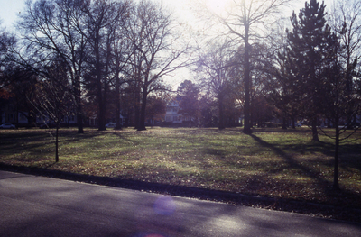
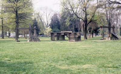
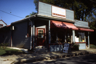
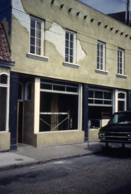
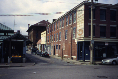
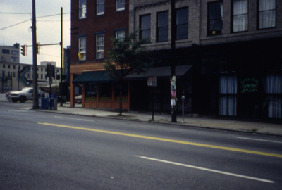
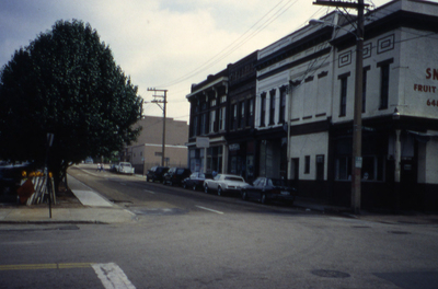
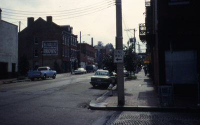
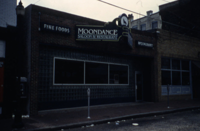
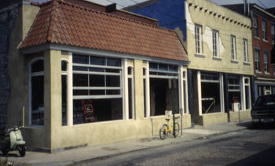
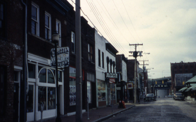
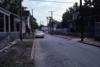
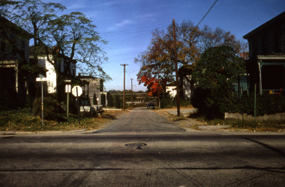
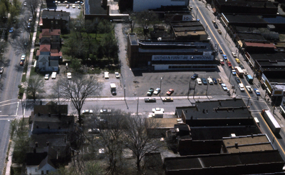
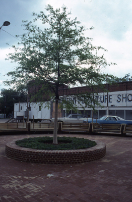
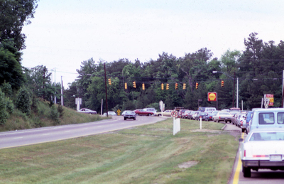
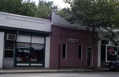
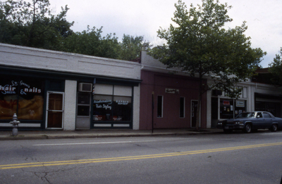
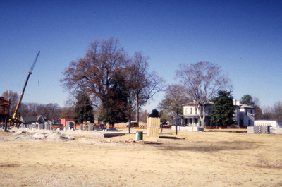
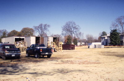
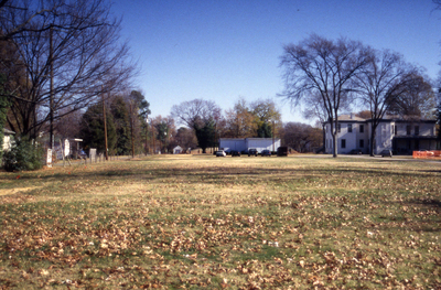
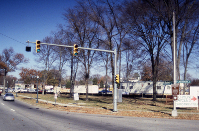
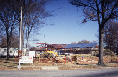
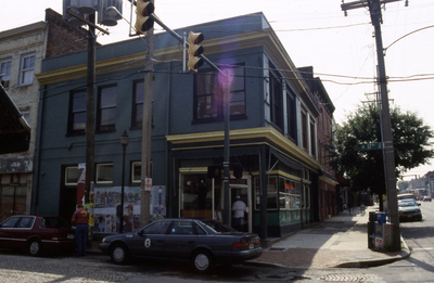
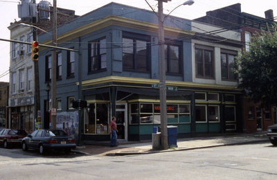
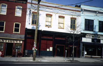
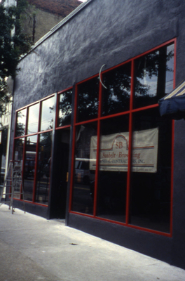
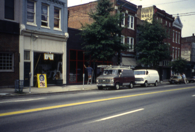
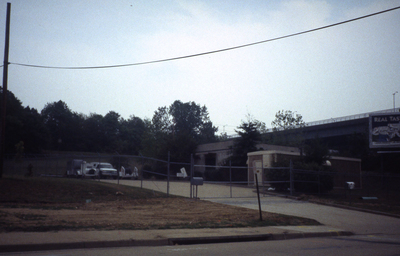
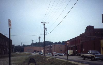
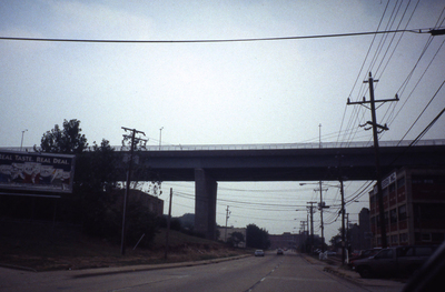
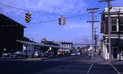
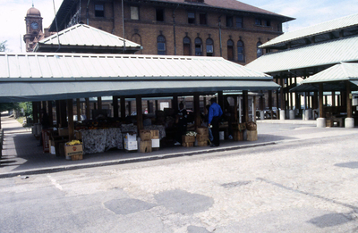
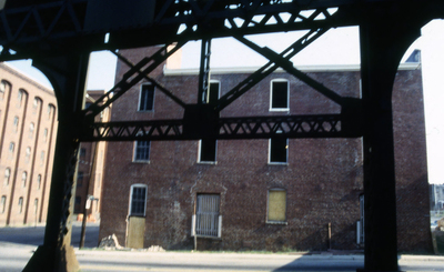
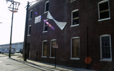
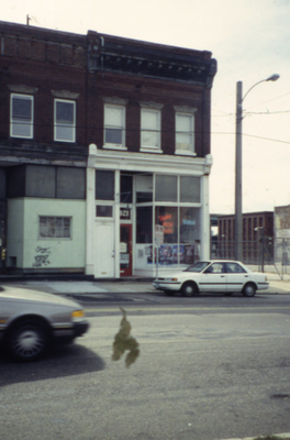
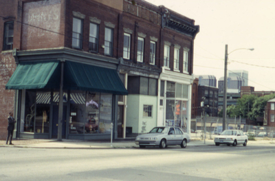
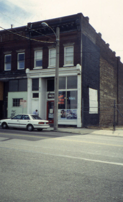
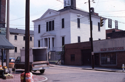
The collection was also used to illustrate the Richmond Master and Downtown Plans as well as neighborhood planning documents. It is an important resource for understanding the larger context of planning as practiced in Richmond during the second half of the twentieth century. The images document the changes in numerous Richmond neighborhoods, in the city's architecture and streetscapes, and in other various aspects of the built environment. Dating from the 1940s to 2000, with the majority ranging from the '70s to the '90s, the photographs depict buildings, streets, aerial views, parks, parking lots, floods, people, and events, mostly in Richmond, but also in other cities in Virginia and in other states. The non-Richmond views were used by the Division as examples of best planning practices.
In 1948 the City of Richmond created the Department of Planning following the adoption of its first master plan in 1946. The department staffed the Planning Commission, prepared community plans, and updated the city's Master Plan. Over the years, the city changed the department's name and some of its functions and responsibilities. For at least three decades the department was known as the Department of Community Development and focused on outreach to the community as a major component of the planning process. In 2010 the name of the department changed to the Department of Planning and Development Review. The department currently oversees building permits and inspections, compliance with the property codes, long-range city planning, enforcement of zoning ordinances, and historic preservation.
The staff of the Department of Community Development began compiling an image library in the 1980s, storing the slides in three-ring binders. David Sacks, a longtime city planner who headed the Comprehensive Planning Division for a number of years, shot a large number of the slides. He developed the organizational scheme for the images and assigned many of the binder headings. Additional images came to the collection from various municipal departments, Richmond libraries, and other sister cities. With the advent of digital photography and online images libraries, the department no longer required a slide library. It was phased out in the 2000s.
Most of the binders were assigned at least one subject, given here in the record for each slide as "Category." Additional broad subject matter is indicated as "Binder Designation." Information written on the slides has been transcribed exactly as it appears and is given as the title. Addresses have additionally been normalized for searching purposes, in the following ways:
- Street names are spelled out in full ("Franklin" instead of "Frank.").
- Street appellations are abbreviated ("St." instead of "Street").
- Street appellations are added when known.
- Numbered streets are given in numeral form ("1st" instead of "First").
- Cardinal directions are abbreviated ("E." instead of "East").
- The word "block" is spelled out ("block" instead of "blk.").
- The characters "&" and "+" are converted to the word "and."
- Streets numbers grouped together are expanded ("2208 - 2212" instead of "2208-12"; "2814/2816/2818" instead of "2814/16/18"). Each number is searchable on its own.
Most addresses, when given, are street names only, without the number of the building. Almost half of the slides are not annotated at all, and while we have been able to supply minimal information for many of the unannotated slides based on context or prior knowledge, over 3,000 of them have no state or city designation--although most of them probably depict Richmond. In general, the accompanying information about the subject matter of many of these photographs is scant or non-existent. If you have information about any of the sites depicted, please contact the James Branch Cabell Library Special Collections and Archives.
Over 99% of the original collection is presented here. Slides containing presentation text as well as various non-Richmond images used for historical context and not taken by municipal staff have been excluded. For additional contemporaneous images of Richmond taken by City of Richmond staff, see the Richmond Commission of Architectural Review Slide Collection.
Copyright
This material is in the public domain in the United States and thus is free of any copyright restriction. Acknowledgement of Virginia Commonwealth University Libraries as a source is requested. The physical collection is housed at James Branch Cabell Library Special Collections and Archives.
Credits
VCU Libraries digitized this collection in 2008 and 2010. Jennifer Cason supervised student employees, digitization, and quality control. Student employees Kaitlin Foray and Kelly Crone assisted with digitization. Metadata Librarian Mary Anne Dyer created the metadata for this digital collection.
. Division of Comprehensive Planning")
. Division of Comprehensive Planning")
. Division of Comprehensive Planning")
. Division of Comprehensive Planning")
. Division of Comprehensive Planning")
. Division of Comprehensive Planning")
. Division of Comprehensive Planning")
. Division of Comprehensive Planning")
. Division of Comprehensive Planning")
. Division of Comprehensive Planning")
. Division of Comprehensive Planning")
. Division of Comprehensive Planning")
. Division of Comprehensive Planning")
. Division of Comprehensive Planning")
. Division of Comprehensive Planning")
. Division of Comprehensive Planning")
. Division of Comprehensive Planning")
. Division of Comprehensive Planning")
. Division of Comprehensive Planning")
. Division of Comprehensive Planning")
. Division of Comprehensive Planning")
. Division of Comprehensive Planning")
. Division of Comprehensive Planning")
. Division of Comprehensive Planning")
. Division of Comprehensive Planning")
. Division of Comprehensive Planning")
. Division of Comprehensive Planning")
. Division of Comprehensive Planning")
. Division of Comprehensive Planning")
. Division of Comprehensive Planning")
. Division of Comprehensive Planning")
. Division of Comprehensive Planning")
. Division of Comprehensive Planning")
. Division of Comprehensive Planning")
. Division of Comprehensive Planning")
. Division of Comprehensive Planning")
. Division of Comprehensive Planning")
. Division of Comprehensive Planning")
. Division of Comprehensive Planning")
. Division of Comprehensive Planning")
. Division of Comprehensive Planning")
. Division of Comprehensive Planning")
. Division of Comprehensive Planning")
. Division of Comprehensive Planning")
. Division of Comprehensive Planning")
. Division of Comprehensive Planning")
. Division of Comprehensive Planning")
. Division of Comprehensive Planning")